Guided GPX Route - Kingsbridge, Devon
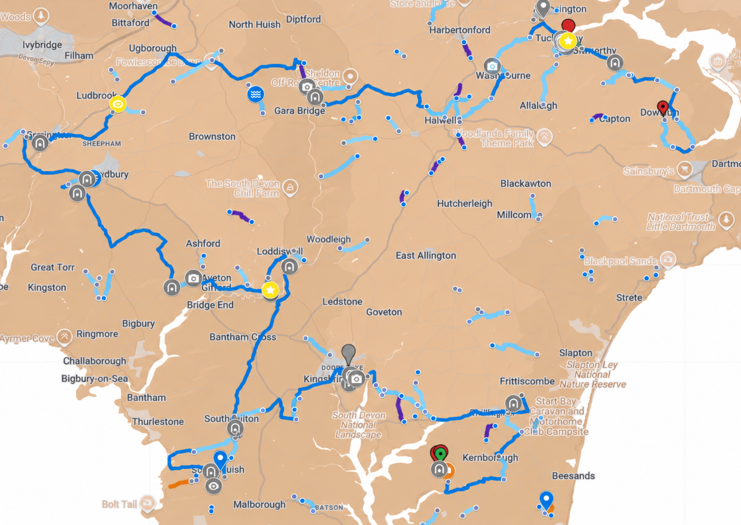
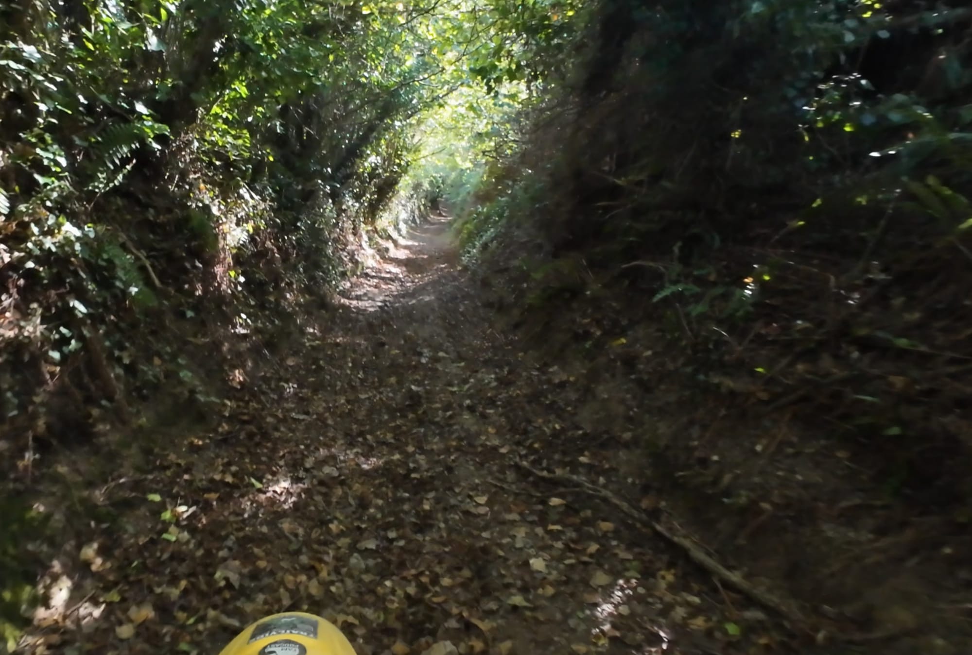
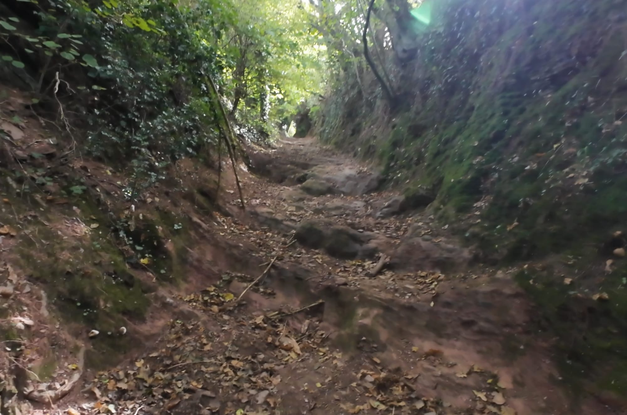
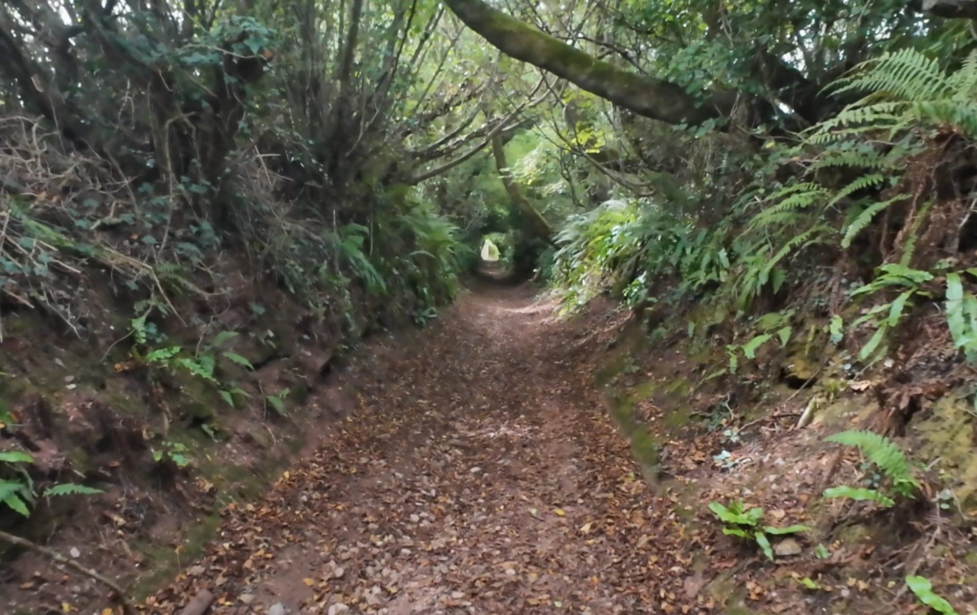
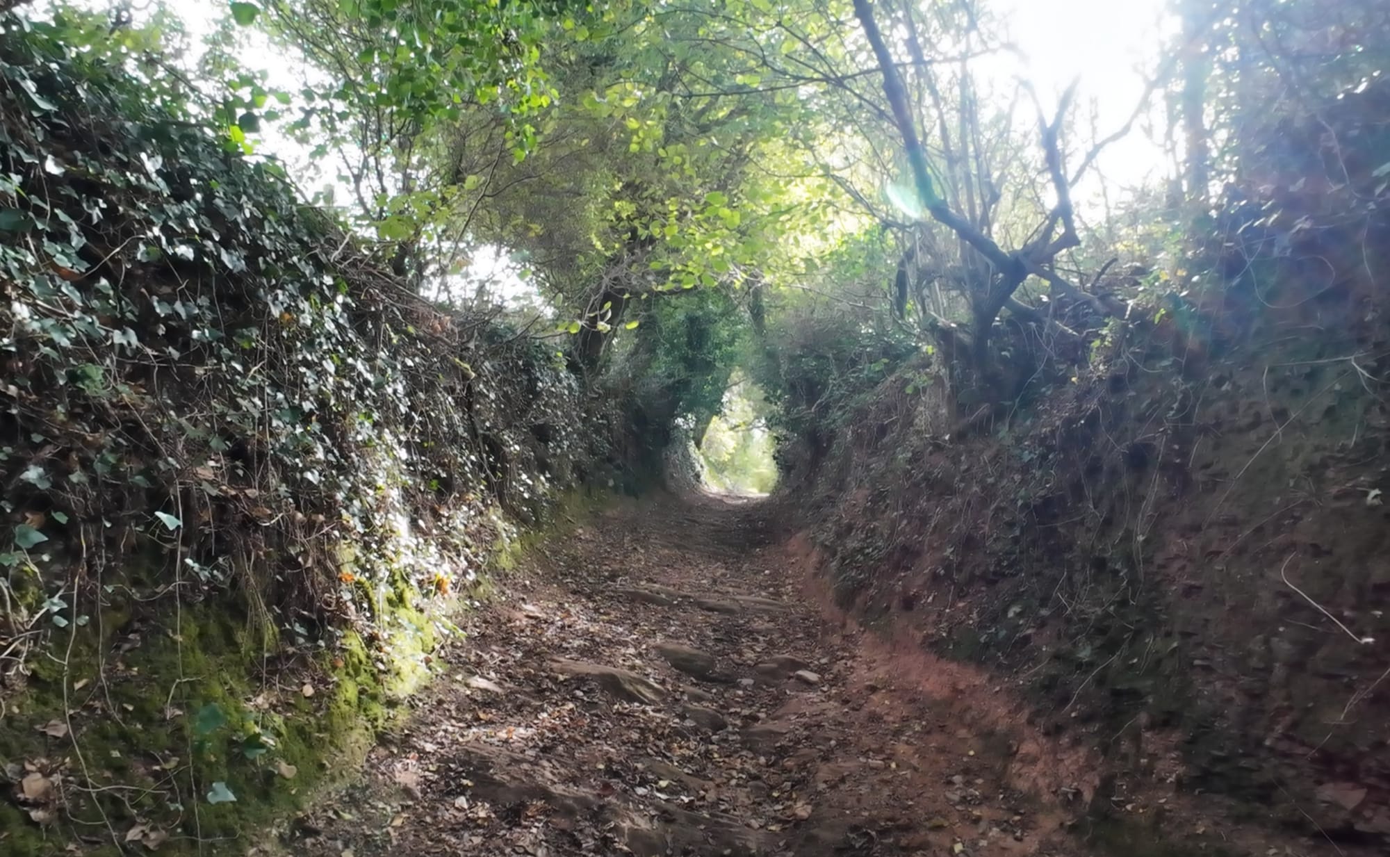
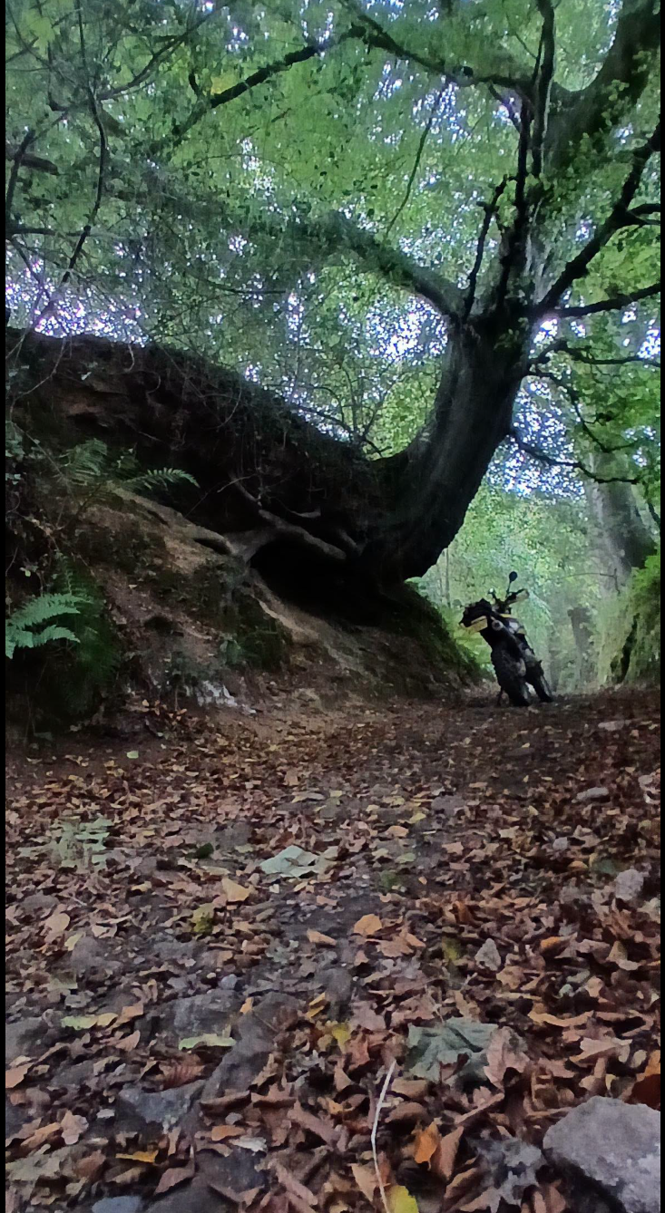
The area around Salcombe bay has an unusual amount of holloway roads - sunken trails where the routes are lower than the roots!
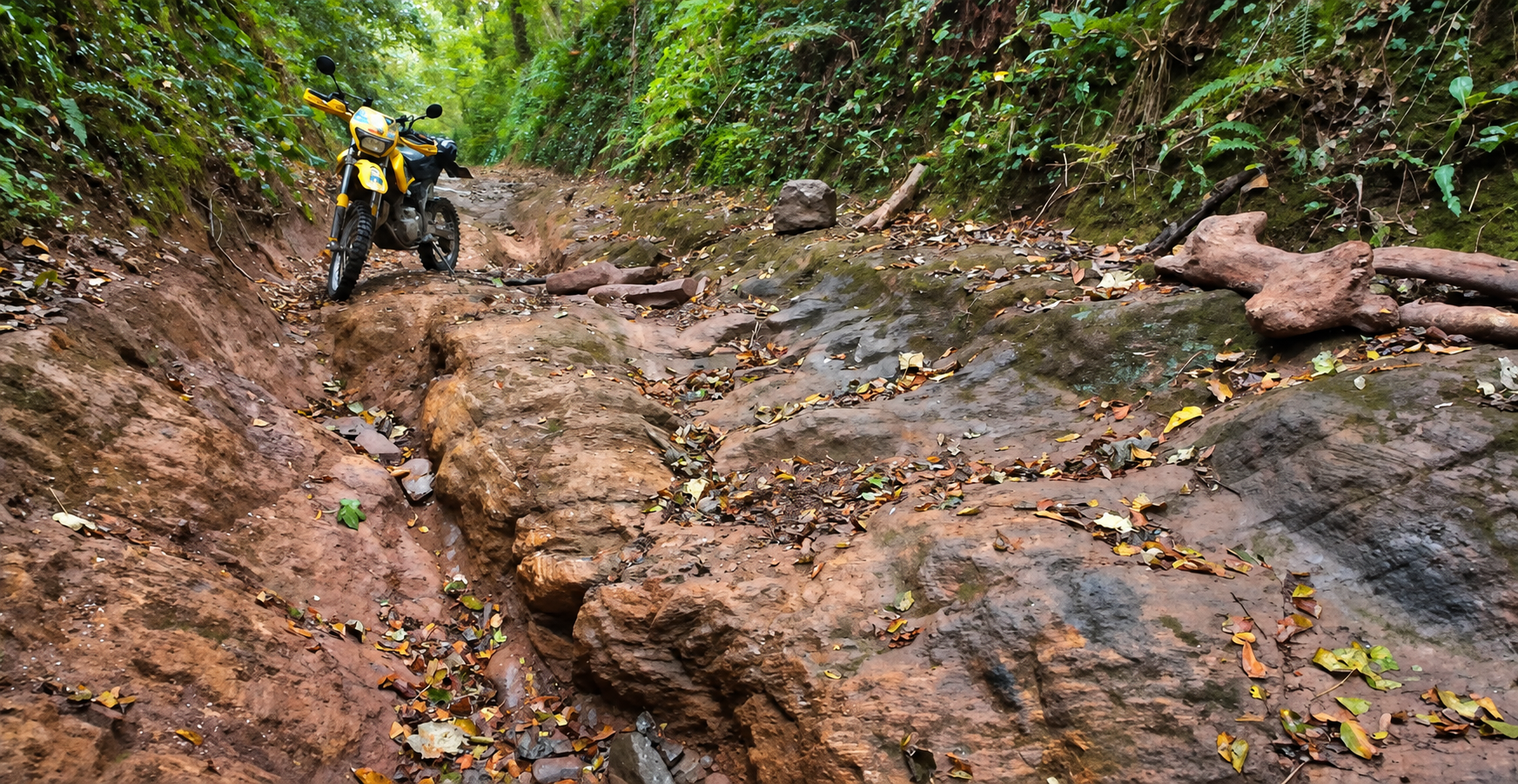
This GPX file is a suggestion route taking in the sunken lanes and a few other lanes to make an interesting and challenging ride.
Beware: the route includes the famously difficult Washabrook Lane.
TrailVidz subscribers can access the trail intel map to see where the off-tarmac sections start and end, plus the colour coded grading, entrance pictures and preview videos to help you decide if it is the route for you. Click map below.
You can edit the downloaded GPX file in the TrailVidz GPX-Hub. Click here.
💡
Use a desktop computer
💡
Show/Hide the layers to see or remove the GPX route
💡
Change the map background using the Base Map button
💡
Green trails are filmed and rated.
Any green pin has a picture and/or a video link
Blue dots contain GPS data only
Any green pin has a picture and/or a video link
Blue dots contain GPS data only