Capturing BOATs and UCRs
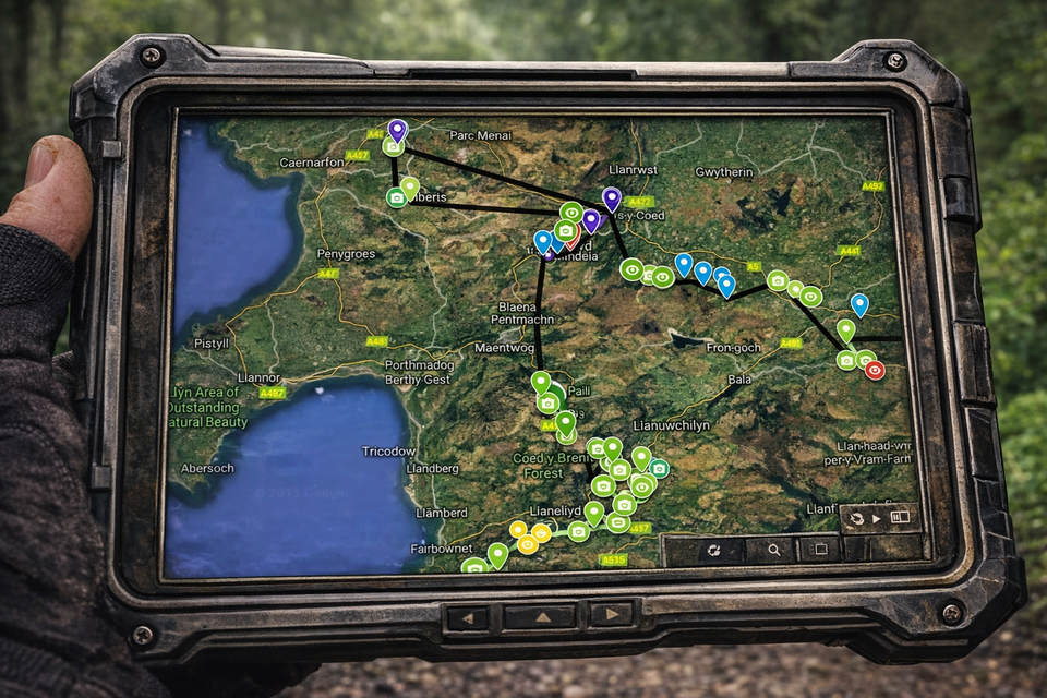
TrailCapture contributors are working on filming and categorizing Public Rights of Way, with information sorted by county/region. This includes Byways Open to All Traffic (BOATs) and Unclassified Country Roads (UCRs) and will come from the PRoW and Adopted Highways maps on county council pages as well as OS map research, local knowledge, contributor submissions and extensive collating of accessible information available across the internet. We won't include every tiny lane and will mostly exclude those with permanent TRO restrictions, trails which have become tarmac, plus any which are too near residential sites or are contentious.
Temp TRO are monitored and every effort is made to ensure that changes to lane access are updated.
For links to county council PRoW webpages see the document at the end of the 'Disclaimers' page and the links in each TrailVidz map.
Some areas of England and Wales have very few legal lanes left. It's useful to know before joining, in case you live in a 'bald spot'(!)